
Solutions · 04 — Integrate
One Stack. Any Platform.
Standard interfaces, no proprietary protocol, no bespoke firmware.
The same sensor, compute, and software integrate across unmanned platforms from multirotors at 50 m to pseudo-satellites at 25,000 m. The camera joins your MAVLink network as a standard camera component, so most of the integration is configuration rather than development — and where the airframe allows, several cameras combine into one system.
- MAVLink 2The camera is a camera component on your existing network — ArduPilot or PX4.
- From 350 gSensor and mission optics; 11–20 V, 30 W typical for the processing module.
- One pod, many camerasCombine cameras for a wider swath or two ground resolutions, or re-role one with the optics.
Platform classes
From 50 Meters to the Stratosphere
Four classes of unmanned platform carry the same stack. What changes with altitude is the area each pass covers and the mission it suits — not the sensor, the interfaces, or the processing chain.
10–25,000 mASL

3–5,000 mASL
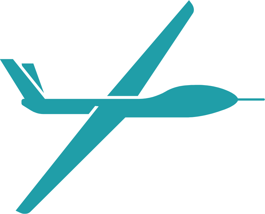
300–1,500 mASL
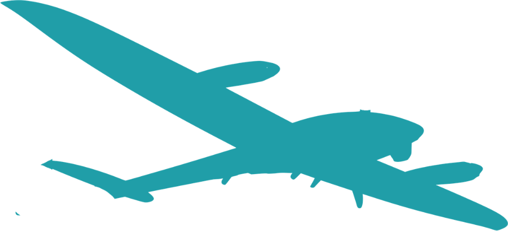
50–300 mASL
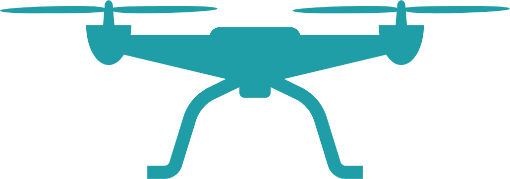
Altitudes are the bands each class typically operates in, not limits of the sensor. Coverage per pass widens with altitude; ground resolution trades against it, set by the optic you fit.
What you integrate
Three Interfaces, All of Them Standard
Integration touches the stack in three places. Each one uses an interface your platform already has, so there is no proprietary bus to adopt and no Sapient-specific firmware to maintain.
-
01 — Sensor
Camera over MAVLinkROOK or ECHO joins your MAVLink 2 network as a standard camera component. Your flight controller supplies position and orientation; the camera requests the streams it needs at startup and reports back on the same link.
- Protocol
- MAVLink 2
- Flight stack
- ArduPilot or PX4
- Gimbal
- With or without
-
02 — Compute
FORGE processing moduleThe processing module carries the sensor and runs the intelligence layer onboard. It needs DC power and a telemetry link to the autopilot; Ethernet and USB-C are there for data, configuration, and offload.
- Supply
- 11–20 V DC
- Power
- 30 W typical, 65 W peak
- Compute
- NVIDIA Jetson Orin NX
-
03 — Software
IGNITE:AI frameworkBring your own model in a container. Sapient handles everything either side of inference — ingest and tiling before, then consolidation, tracking, georeferencing, and export after. Findings leave as Cursor-on-Target.
- Model
- Yours, unchanged
- Runtime
- Container on target
- Output
- CoT · JSON
Electrical interfaces on FORGE
Connector types, pin assignments, and signal levels are in the FORGE Electrical ICD.
-
Power
DC inputOne feed, 11.0–20.0 V. Undervoltage lockout, overvoltage, and reverse-polarity protection on the module.
-
Telemetry
MAVLink to the autopilotA Pixhawk-style port. FORGE is a device, your flight controller is master — a standard non-crossed cable mates directly.
-
Sync
Timing & triggerPulse-per-second in for an external time reference. Camera trigger in, camera sync out.
-
Data
1000BASE-T EthernetGigabit to the flight controller or a companion computer — control, status, and bulk transfer.
-
Service
USB-CUSB 3.0 for configuration, firmware, and ground-side offload. Not an in-flight data path.
-
Sensor
Camera interfaceA dedicated PCIe link carrying image data, camera power, and hardware sync.
All data lines are 3.3 V logic and ESD-protected. Connector part types, pin counts, pinouts, and current limits are in the ICD, released under NDA — request access →
Run your own model
The Integration Boundary
Inference is the only stage you own. Everything either side of it runs onboard, so integration means packaging a model against a fixed boundary — not building a pipeline.
Sapient · before inference
- Ingest from the sensor
- Debayer and correct
- Resample and tile to your format
Your container
Your model, unchangedAn isolated Docker container holding your framework, your weights, and your logic. It runs as built.
- Framework
- Any — agnostic
- Language
- C++17 or Python
- Acceleration
- TensorRT on target
- Retraining
- None
- Your data
- Never shared
- New version
- Swap the container
Sapient · after inference
- Consolidate across tiles
- Track across frames
- Georeference and export
Three calls, and that is the whole surface
-
Configure
01
Declare the tile size, pixel format, and target ground resolution your model was trained on.
You
-
Receive
02
Tiles arrive in GPU memory — debayered, corrected, scaled, and overlapped. No file handling.
IGNITE delivers · you consume
-
Return
03
Hand back detections. Consolidation, tracking, georeferencing, and export follow automatically.
You submit · IGNITE consolidates
Scaling up
Combine Cameras, Optics and Modalities to Adapt to the Mission
One airframe can carry more than one camera. Arrange their footprints side by side and you widen the swath covered per pass; nest a longer optic inside a wide one and you get two ground resolutions from the same pass. Where the airframe cannot carry a second camera, changing the optic re-roles the one it has.
- ×NSwath scales with camerasEach added camera adds its own footprint. Coverage per pass rises roughly in proportion; how many you fit is set by the airframe, not the architecture.
- From 350 gPer cameraSensor and mission optics. “From” because the figure depends on the optic fitted.
Each camera detects independently, but every one of them takes position, orientation, and GPS time from the same autopilot. Findings therefore arrive already in a single world coordinate frame and on a common timebase — so what reaches your command system is one consolidated picture to act on, not several streams of imagery to reconcile first.
ECHO takes interchangeable optics behind a standard mount, so one camera re-roles between wide-area survey and long-range standoff without requalifying the system. Same interfaces, same processing chain, same integration — a different lens.
Size a Fit for Your Airframe
Bring the airframe, the autopilot, and the mission profile. Detailed interface control documents and integration guides are available through the resource hub.