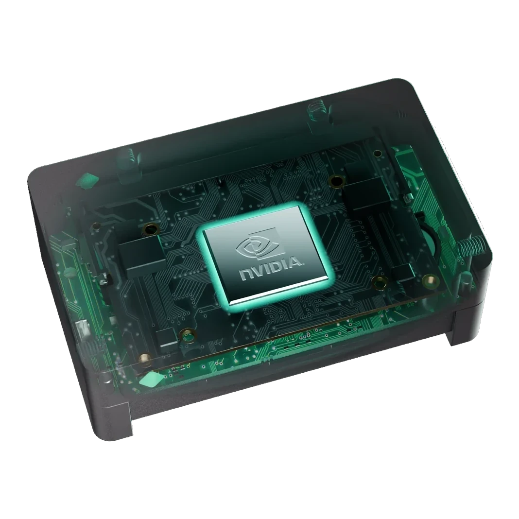
Tactical Recon
Complete field of view at detection resolution — no zoom-switching, no peripheral blindness.

Engineered as one system
Meet the perception platform, engineered as one complete end-to-end solution — camera, optics, processor, and an AI-agnostic software layer. One mechanical interface, one power budget, one qualification cycle: less integration risk, less weight, less time to field.
Introducing the perception platform
The complete answer to fragmented UAV sensing: a 10K high-resolution camera, edge compute, and an AI-agnostic container (IGNITE) — engineered as one system, installed as one lightweight ISR solution.
For the integrator: one qualified system instead of a multi-year sensor program. For the operator: the whole area at detection resolution, delivered as findings.
Including mission optics
Standard interfaces for configuration and control
Fully trusted and allied supply chain
Go deeper · the technology
01 — Capture
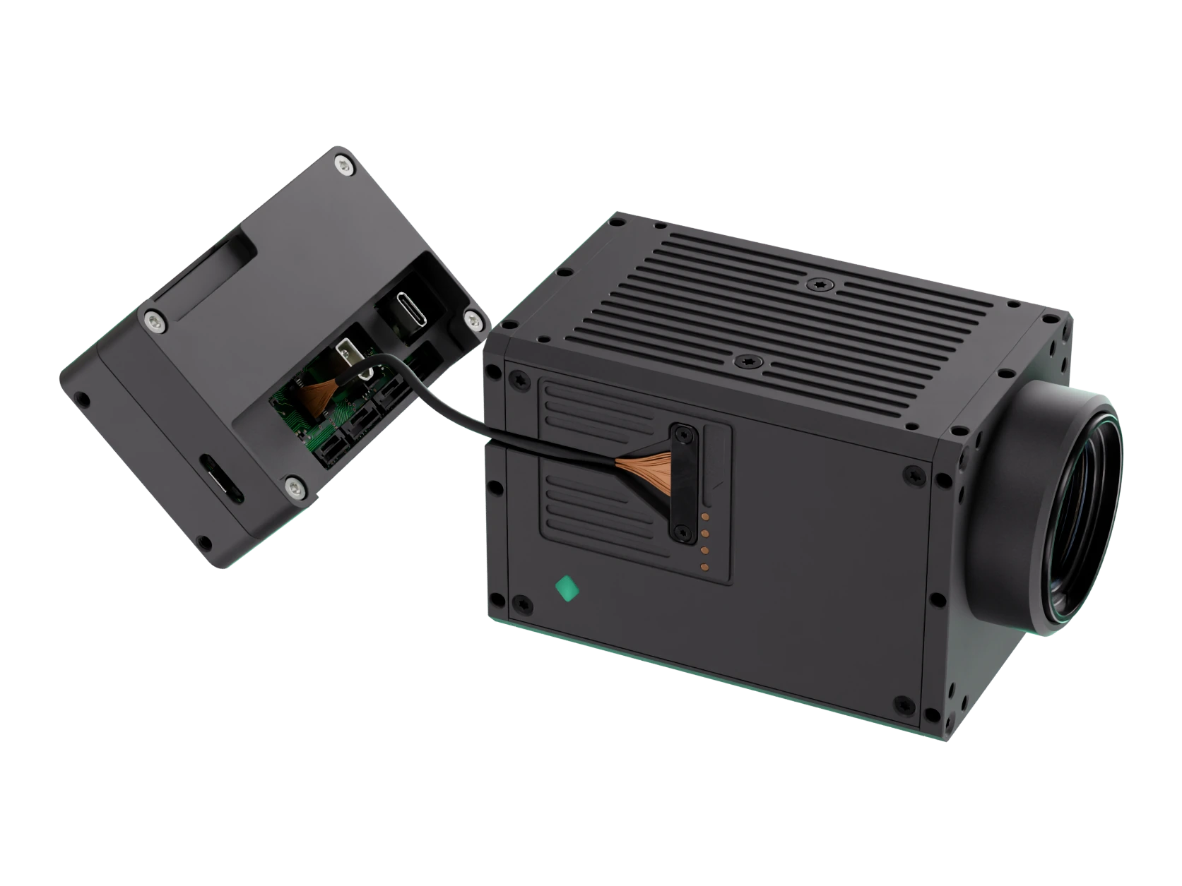
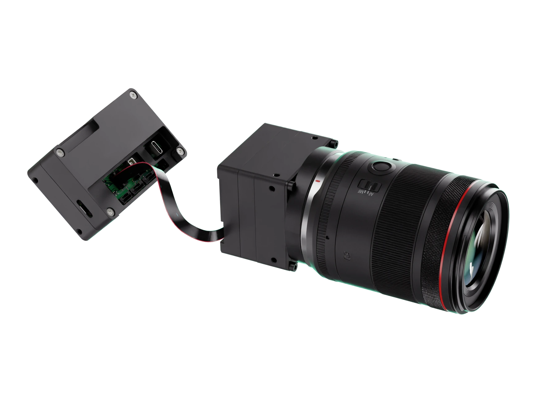
Two 10K perception sensors on a shared architecture. Choose the optics strategy that fits the platform and mission — both feed the same FORGE and IGNITE:AI pipeline.
02 — Process
Save time, bandwidth, and decisions; process on the fly, send what matters.
03 — Deliver
Give operators exactly the intel necessary to make key split-second decisions in real time.
Full product page: IGNITE:AI → How it works →
Sapient has zero visibility into your models, training data, or operational output. Bring your own AI or work with a partner — IGNITE:AI runs the same either way.
04 — Integrate
The same sensor integrates across every class of unmanned platform, from multirotors at 50 m to stratospheric HAPS. Integration is the same MAVLink interface and the same power and data contract at every tier.
Where it works
Twelve use cases across four missions. Small objects, large areas, real time — wherever the stakes are highest.
Complete field of view at detection resolution — no zoom-switching, no peripheral blindness.
A position and its approaches held persistently, with contacts kept as the aircraft moves.
People and vehicles found in the same frame as the surrounding context.
2–3 mm ground resolution across a 20 m corridor — detecting threats before they reach the column.
The corridor ahead of a column scanned in one pass, candidates flagged with coordinates.
Contaminated ground surveyed so clearance teams can be tasked to locate candidates.
Optical detections fused with AIS — the vessel broadcasting nothing is the one flagged.
Wide-area maritime surveillance and vessel tracking across open water.
Persistent wide-area monitoring across coastlines and land borders.
The whole search area at detection resolution — survivor coordinates output directly.
People and small craft against open water, where the search area drifts with time.
A wide-area picture of an affected area when ground access is cut.
Partners & validation
 Spaceline
 TEKEVER
 Dropla Tech
This site uses only strictly necessary cookies.
No tracking, no analytics, no advertising cookies. Product videos load from Vimeo as they scroll into view and the inquiry form loads from HubSpot on the briefing page; the configurator loads when you click it. Read the privacy notice.